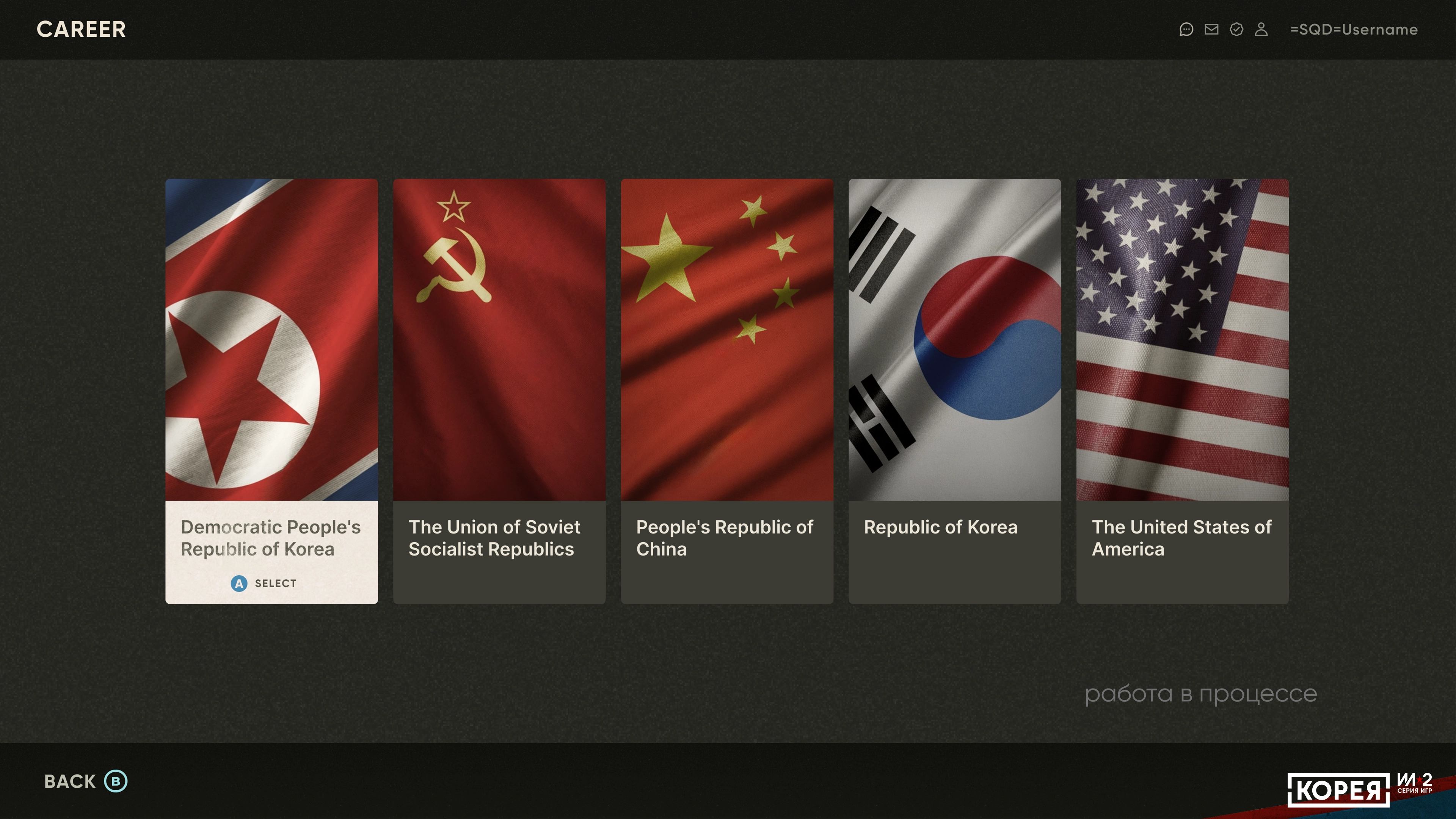
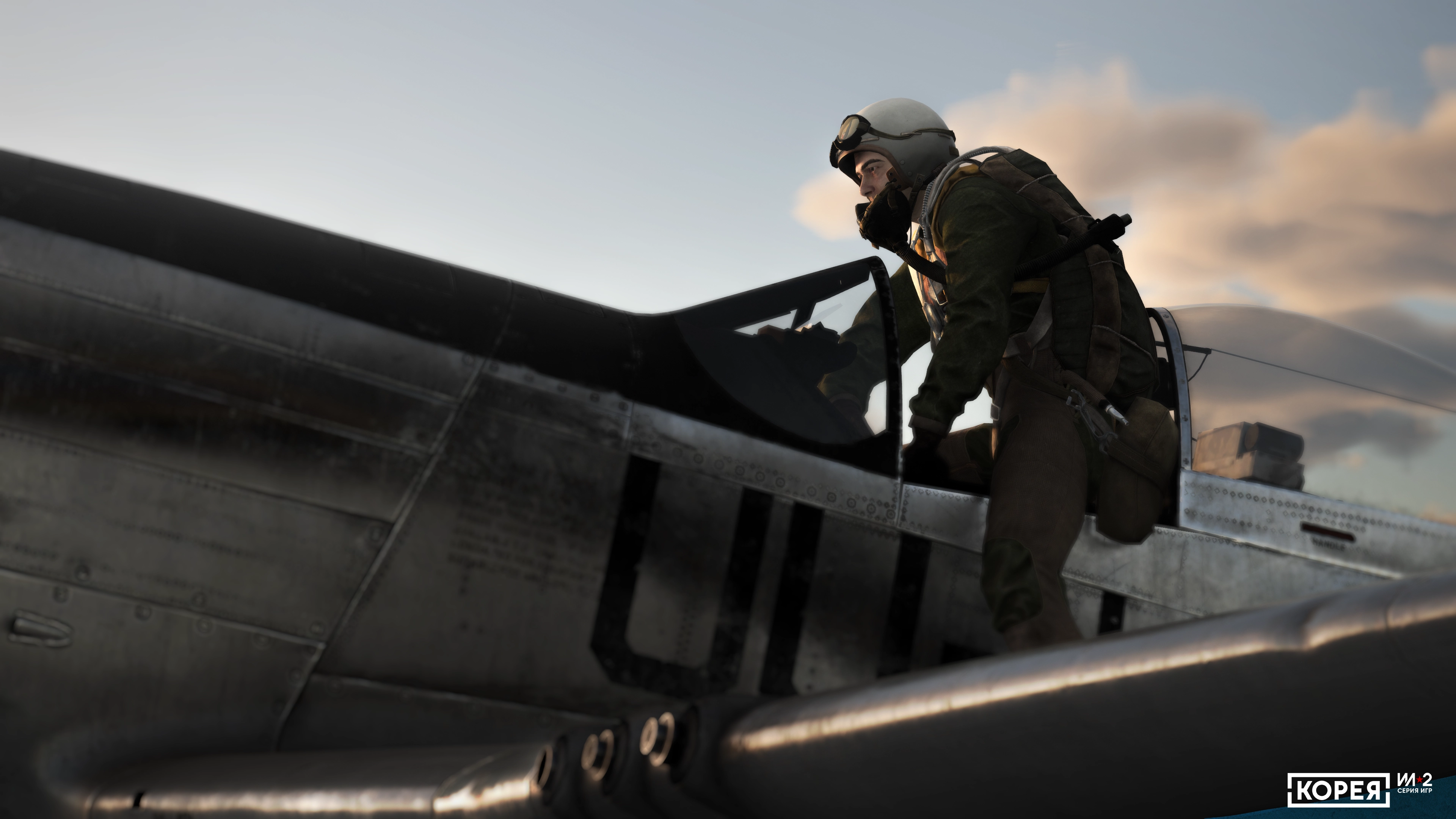
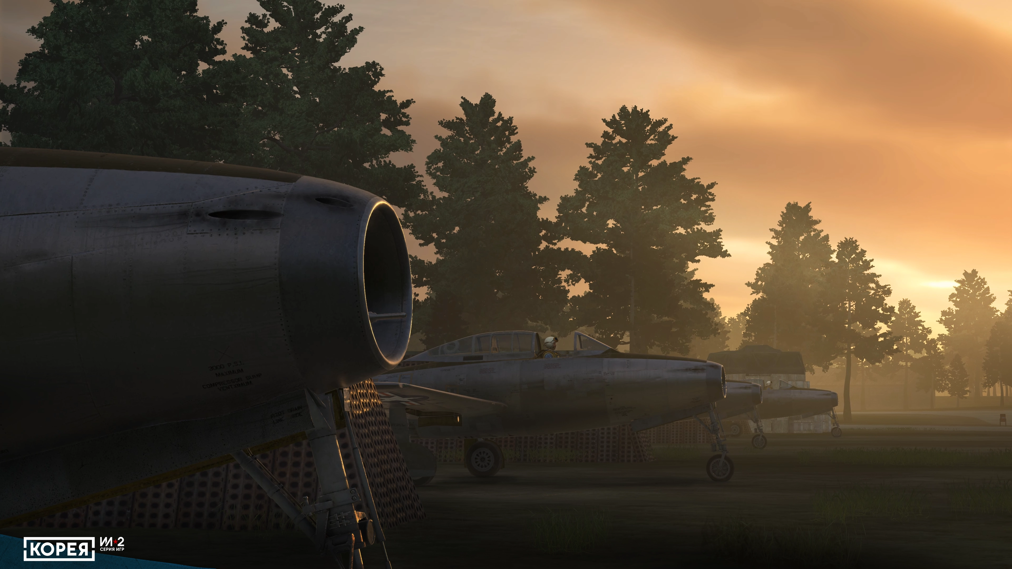
IDEAL BALANCE OF SIMULATION AND ACCESSIBILITY
Real functioning gauges and gunsights, but you do not have to memorize and perform the pilot’s routine procedures, like the engine startup.
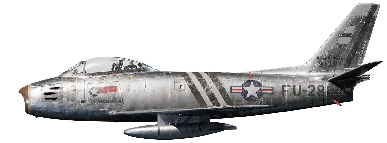
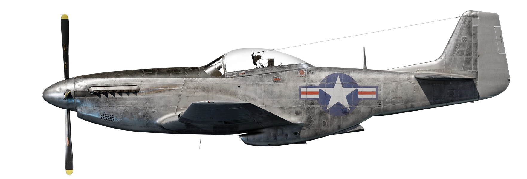
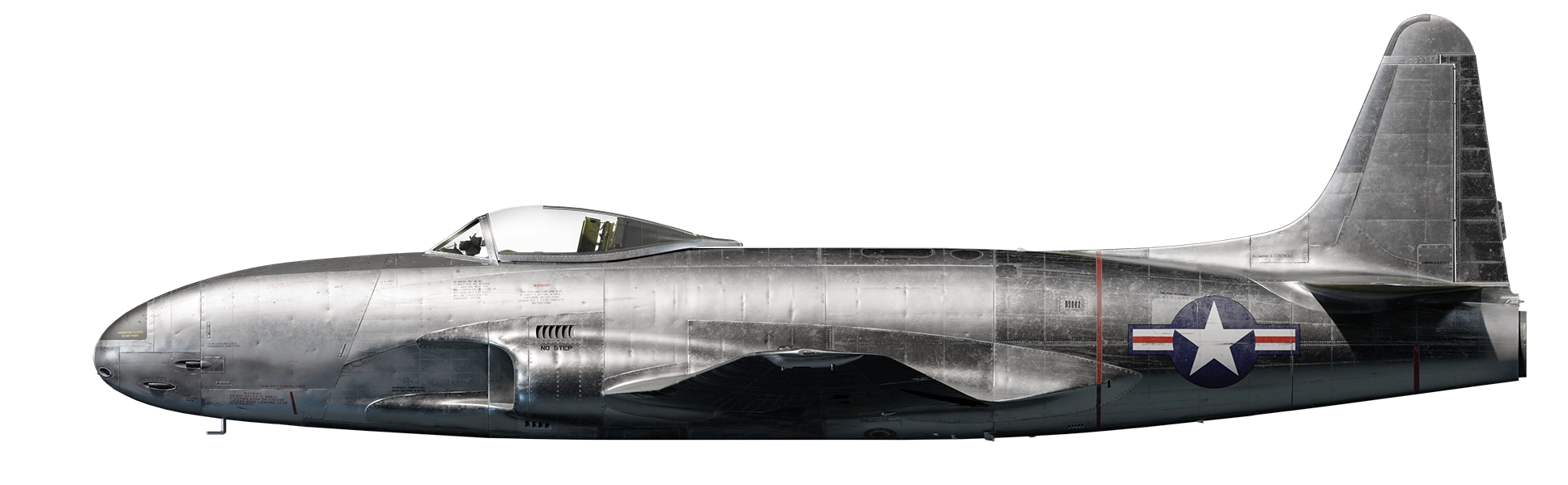
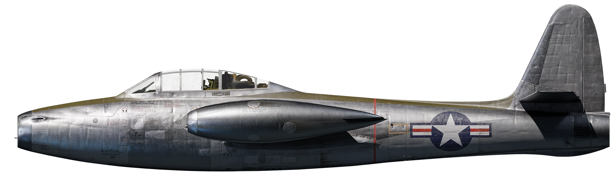
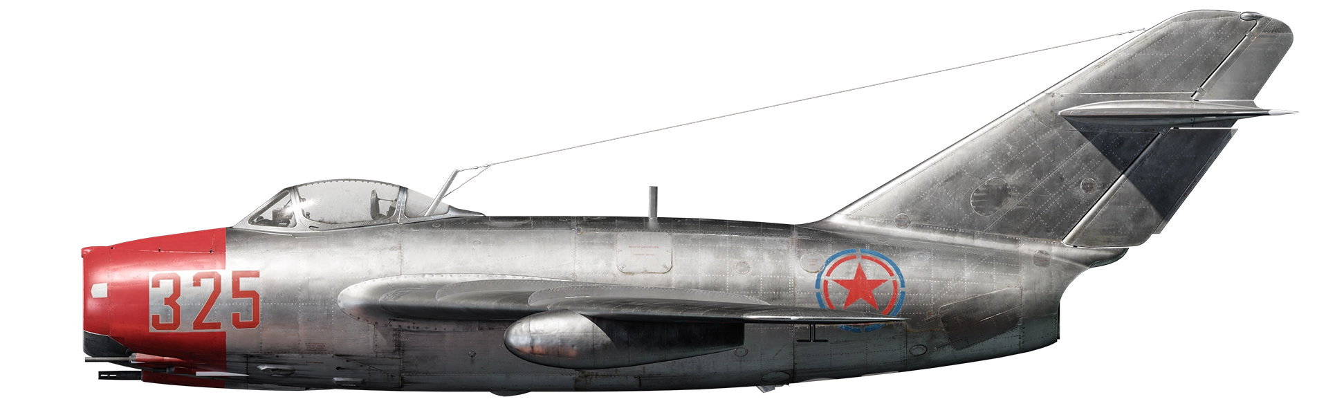
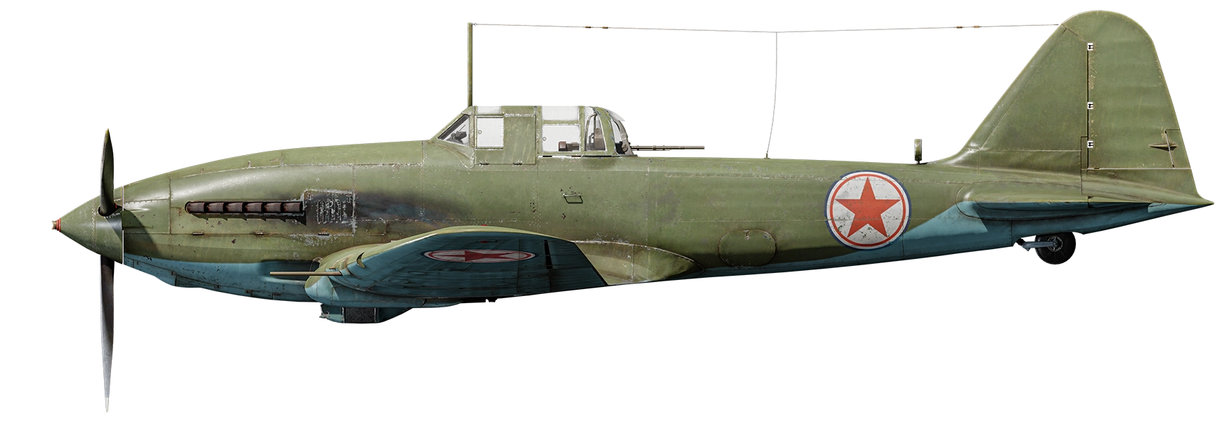
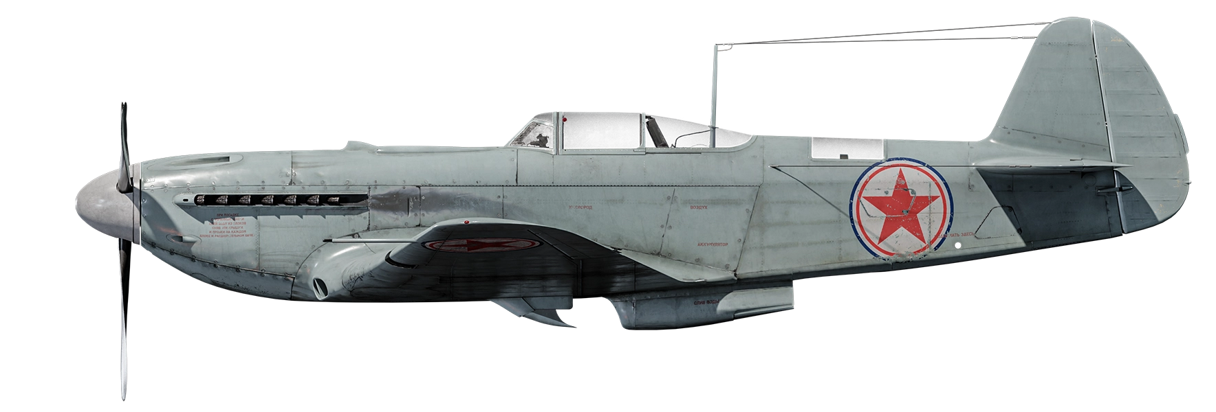
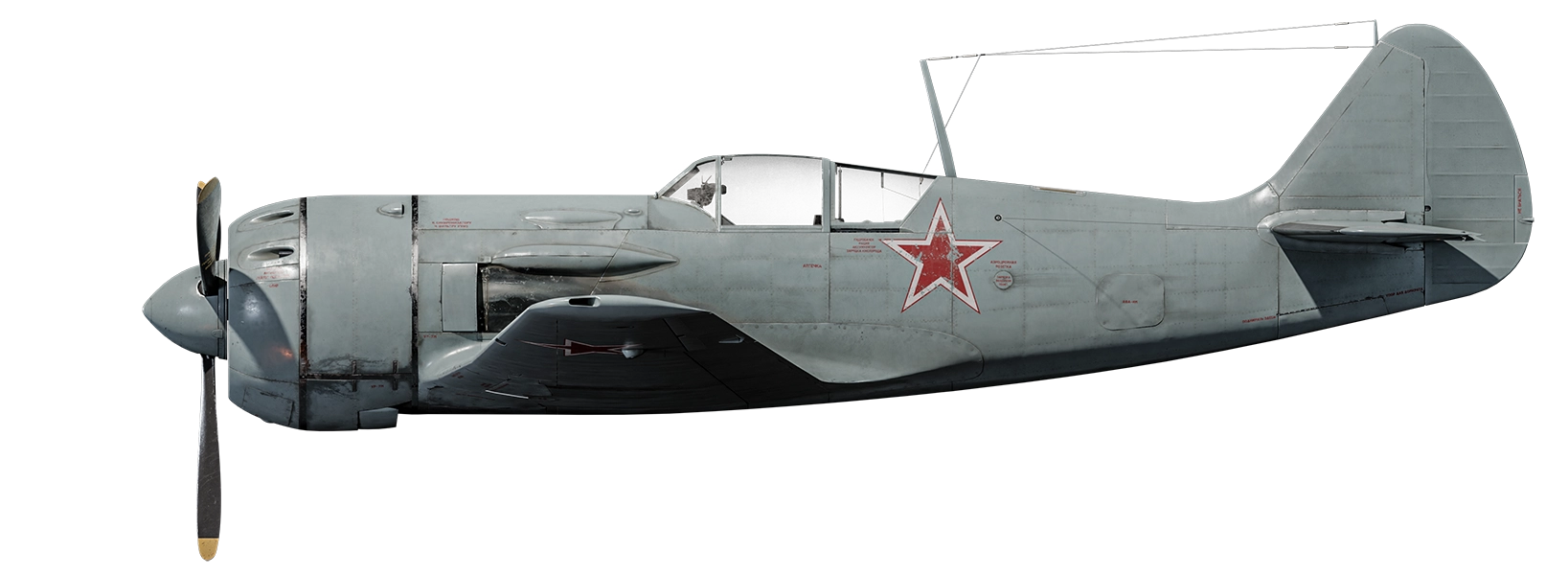
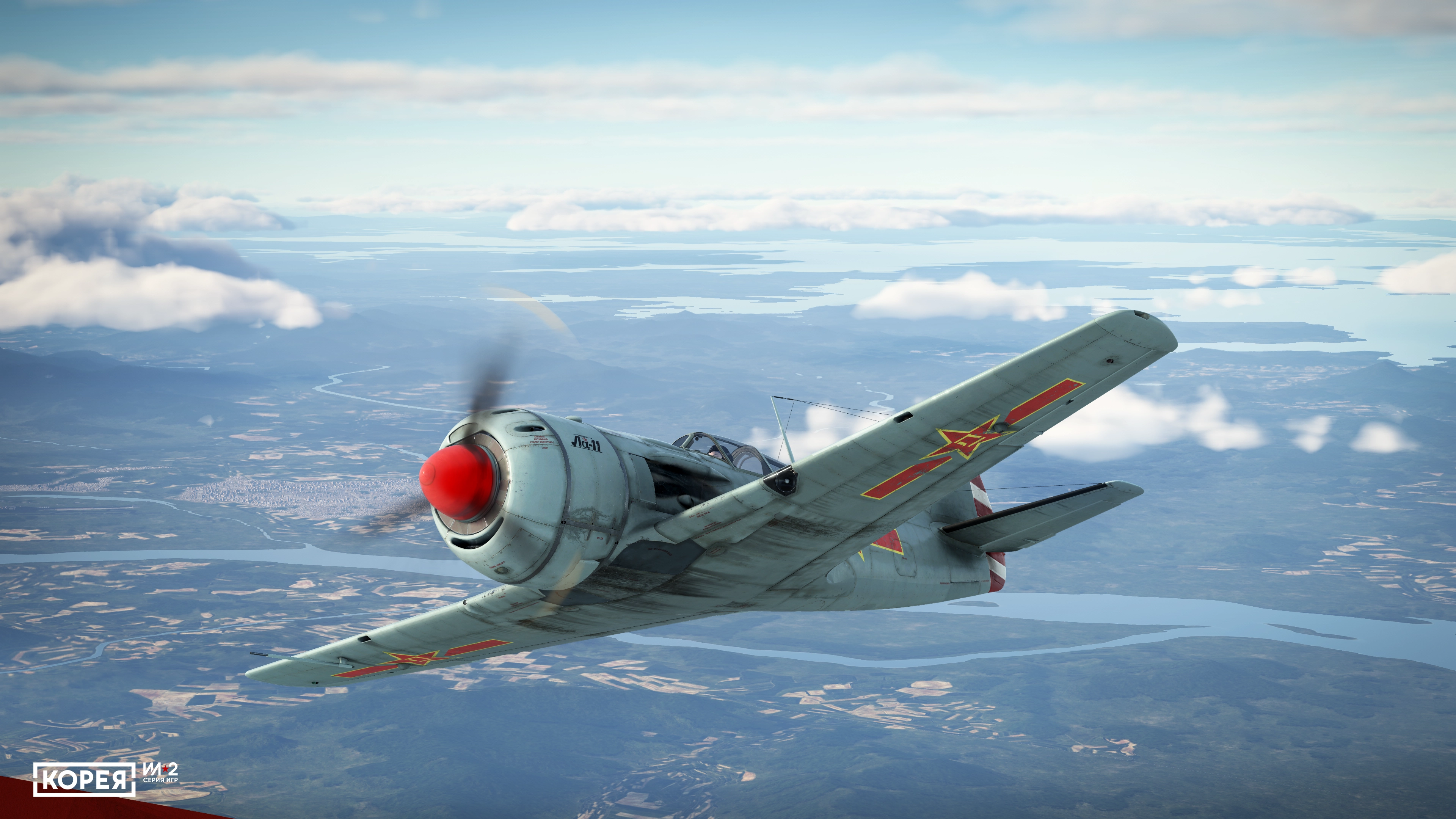
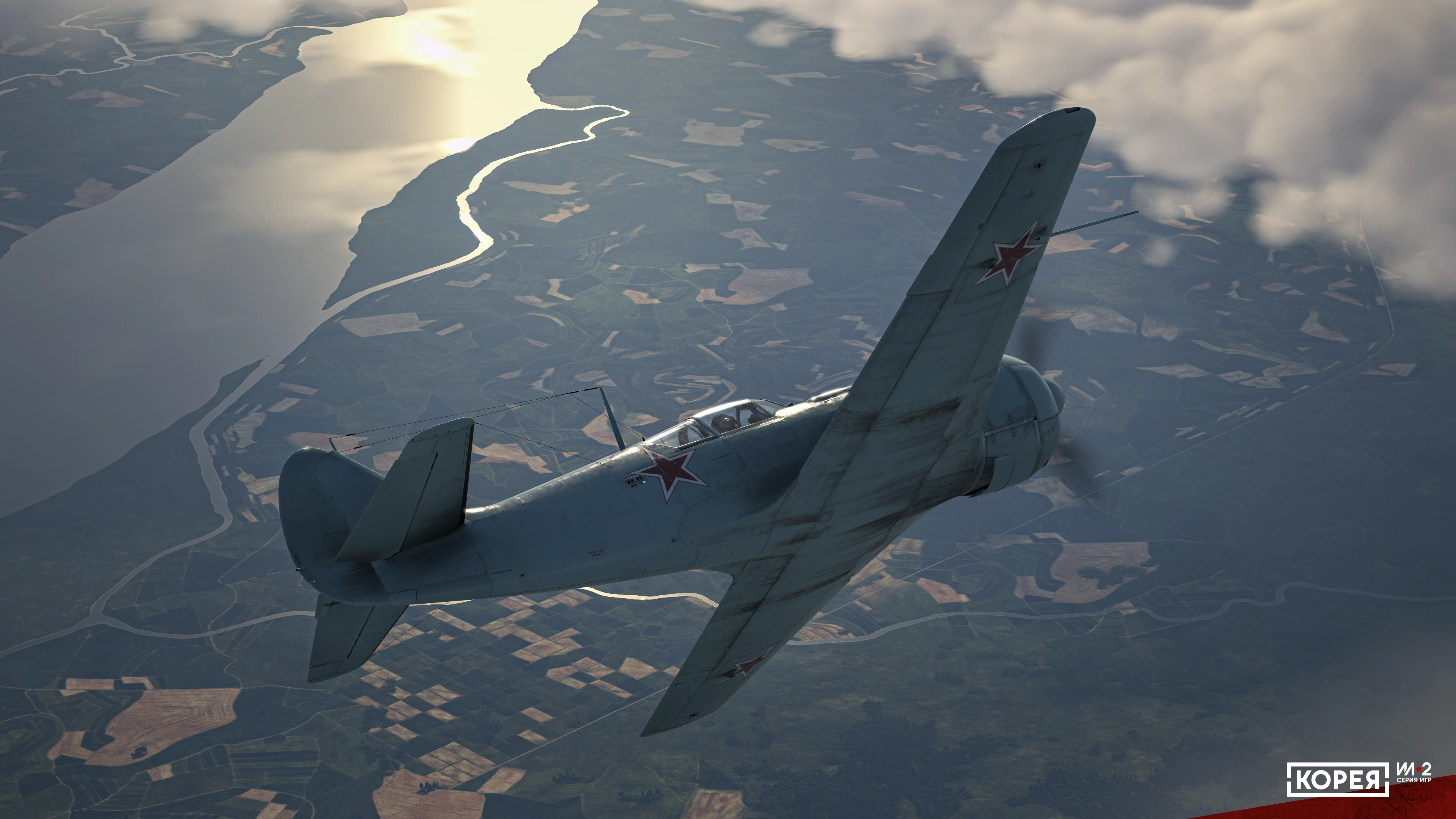
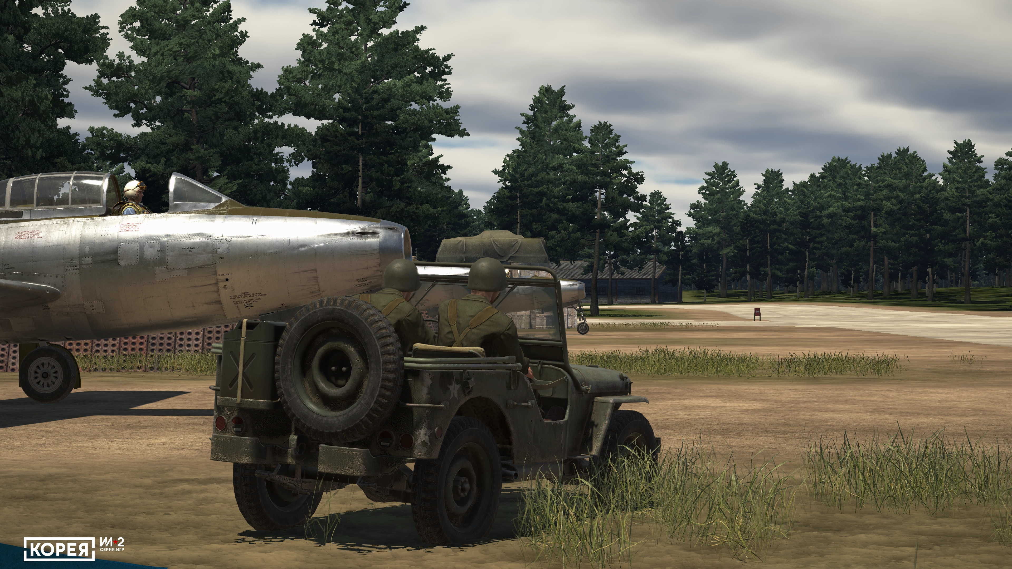
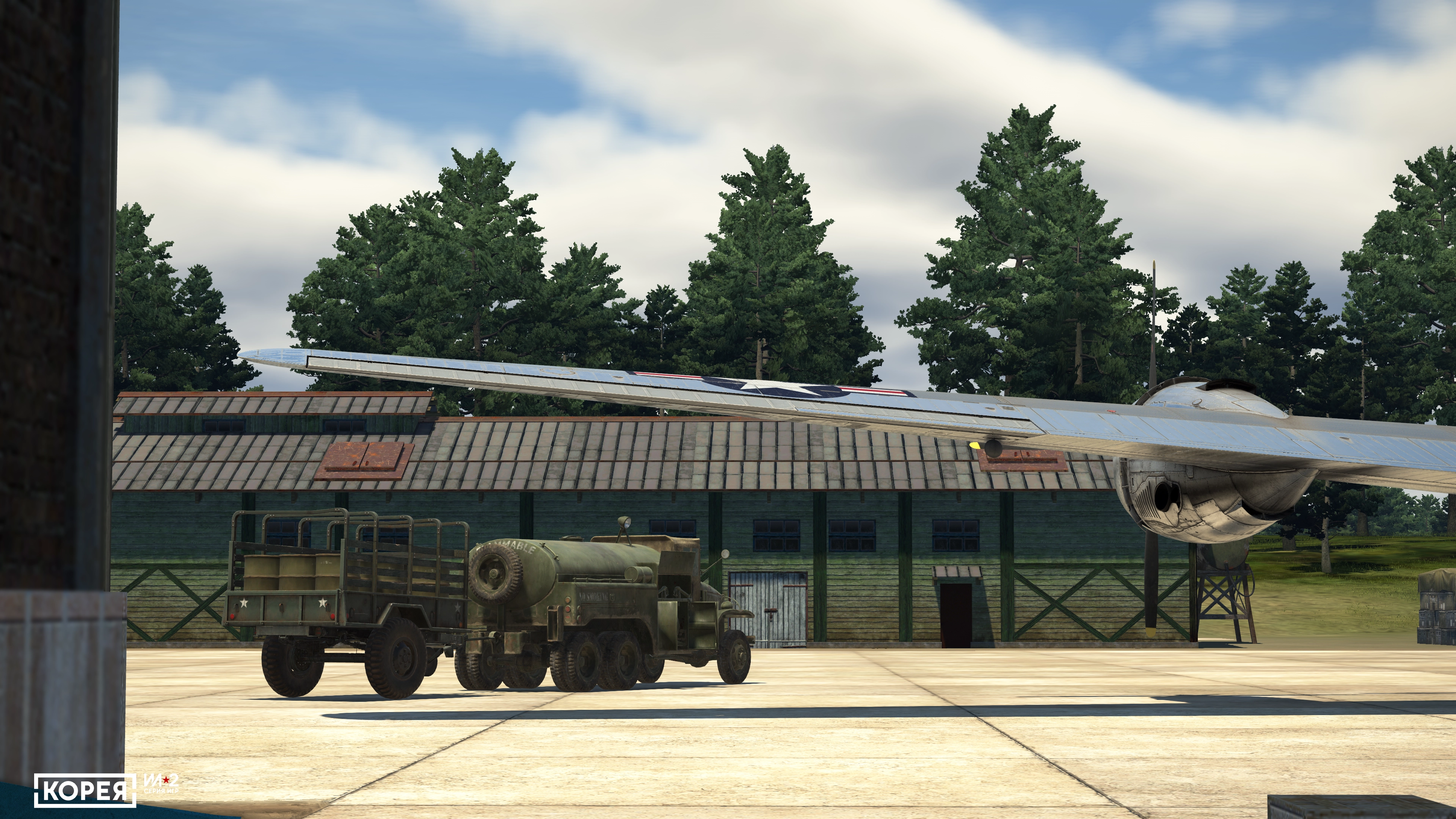
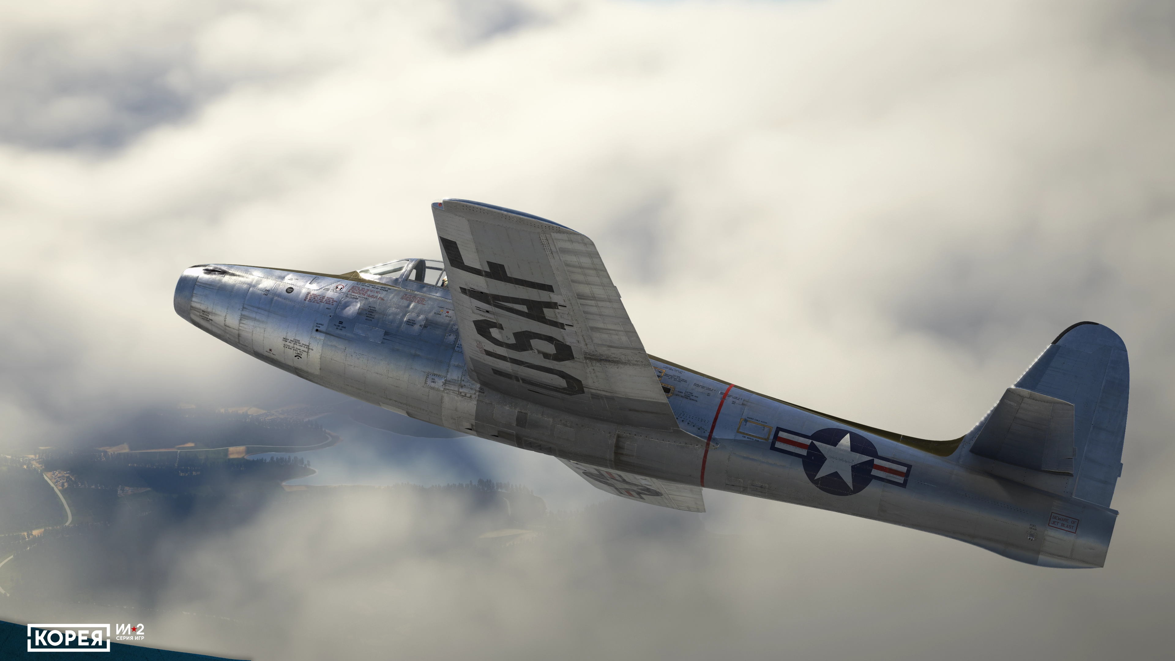
IMPECCABLE DETAIL
All the aircraft are recreated using real documentation and pilot reports, with modern 3D graphics techniques and unique in-house-made tools.
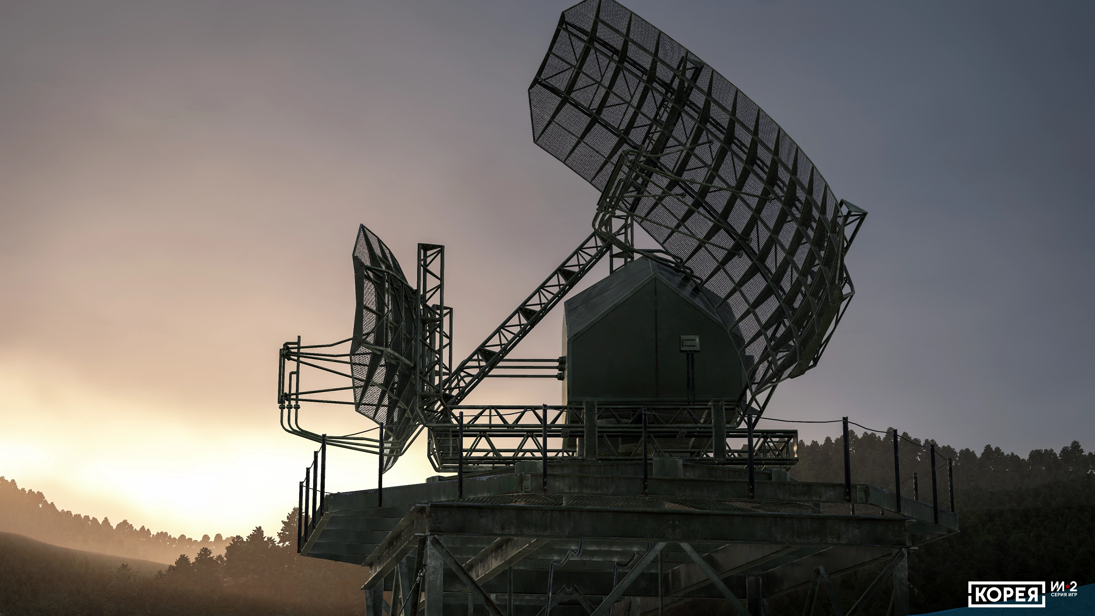
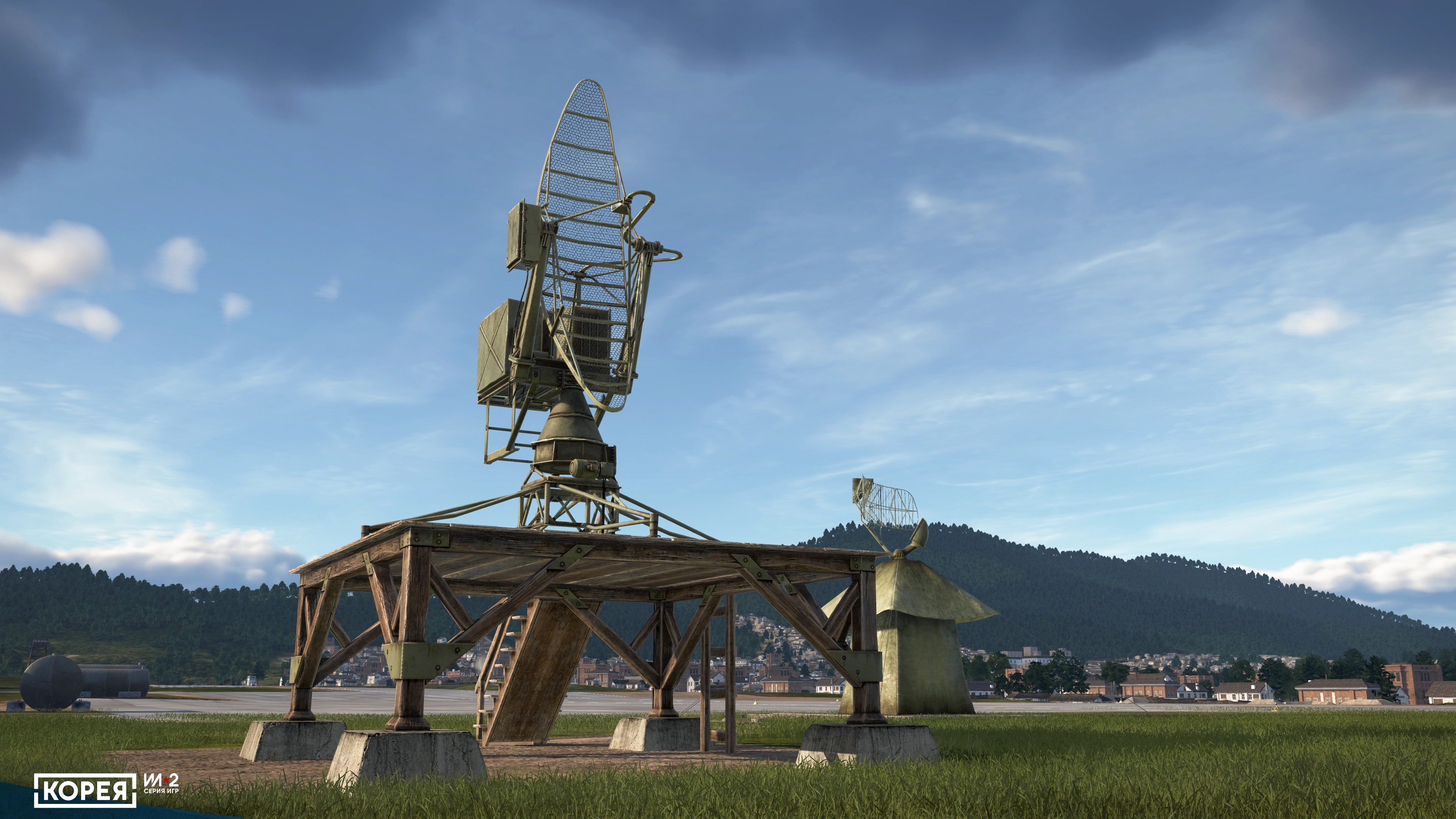
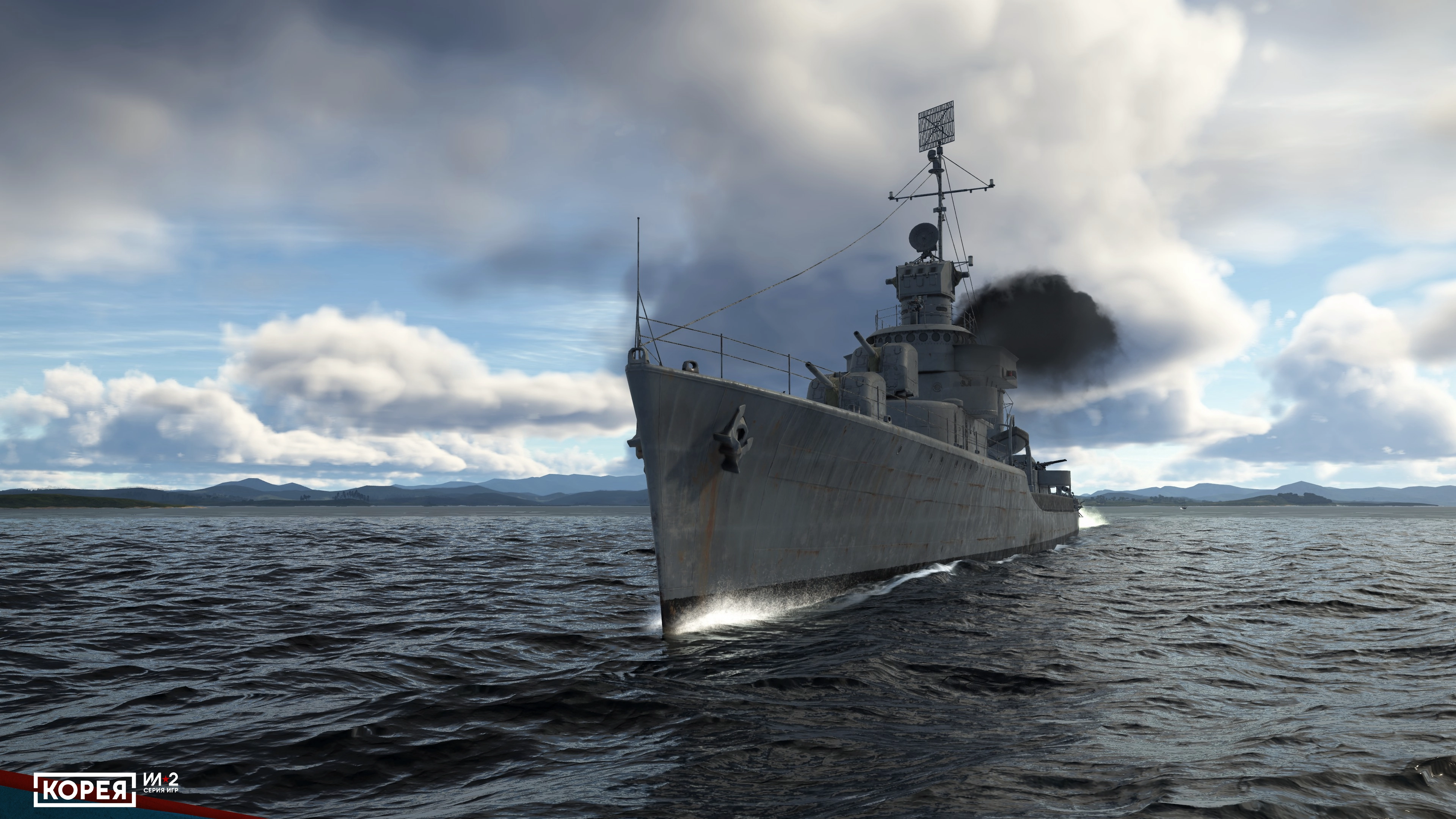
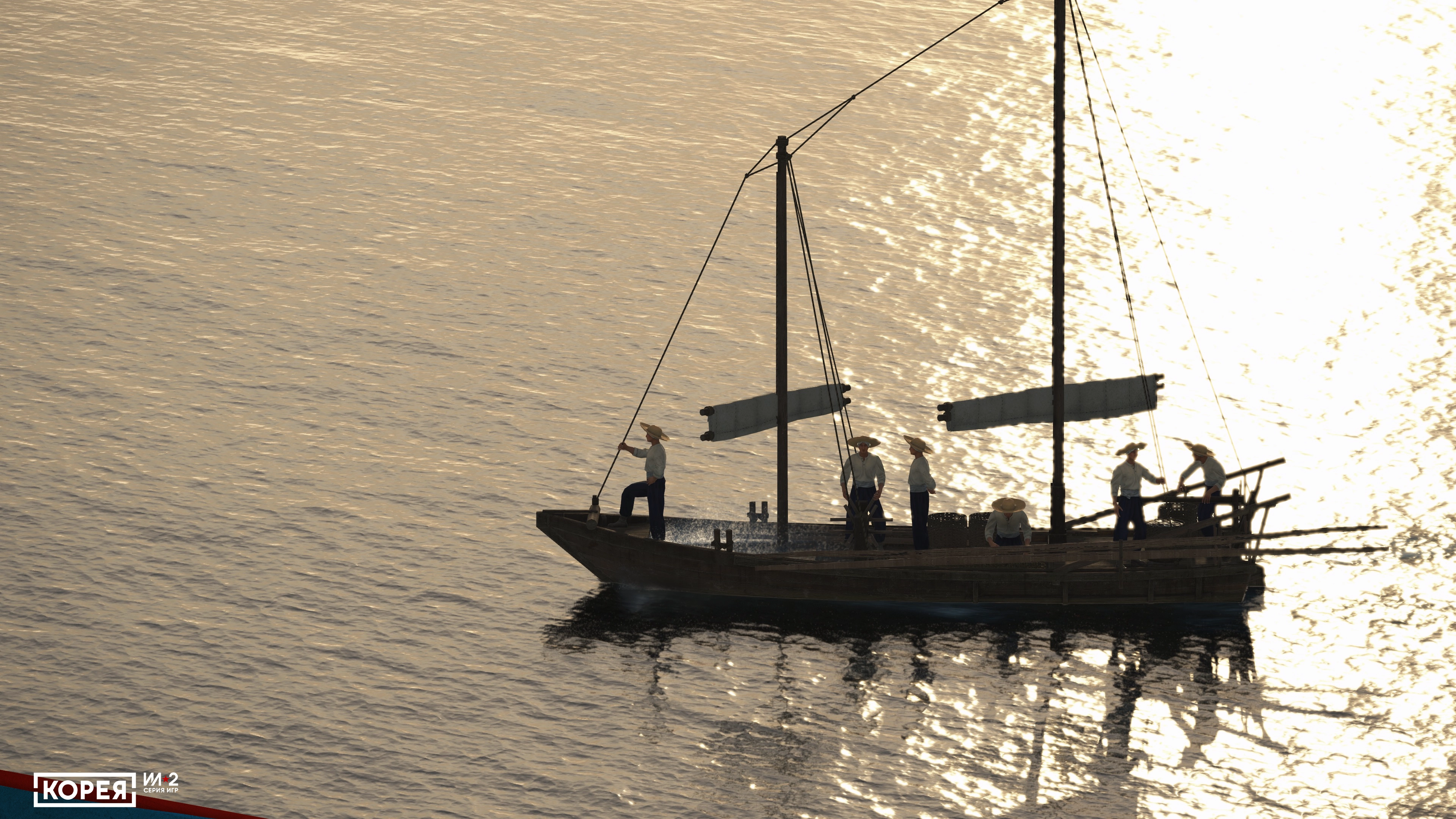
75,000+ SQUARE MILES (200 000 SQUARE KM)
The largest map in the history of the IL2 series spans the Korean Peninsula during the 1950s, featuring dozens of air bases, hundreds of cities and settlements, historically accurate layouts, seaports, dams, and a vast transport network.